Generative design · Cartography · Python
Mapped
for the wall
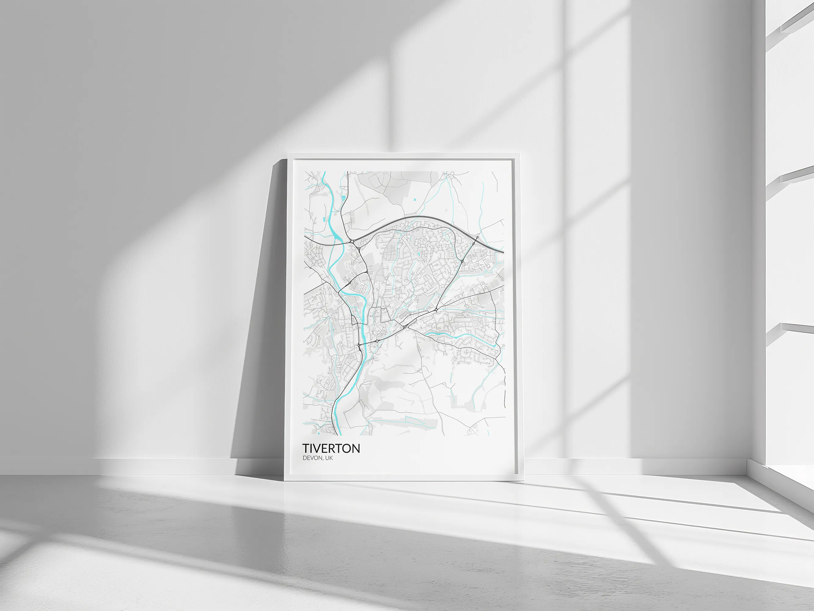
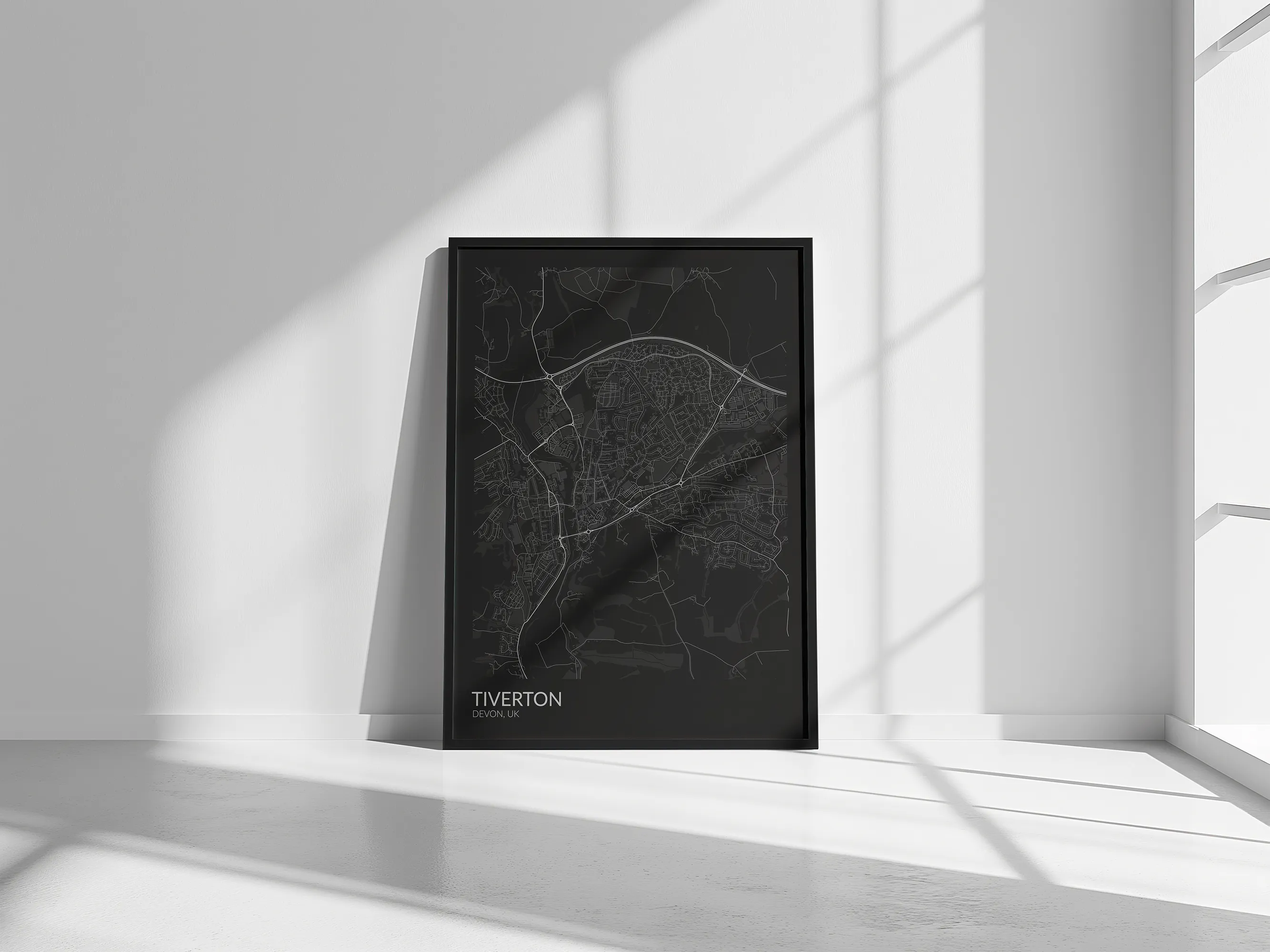
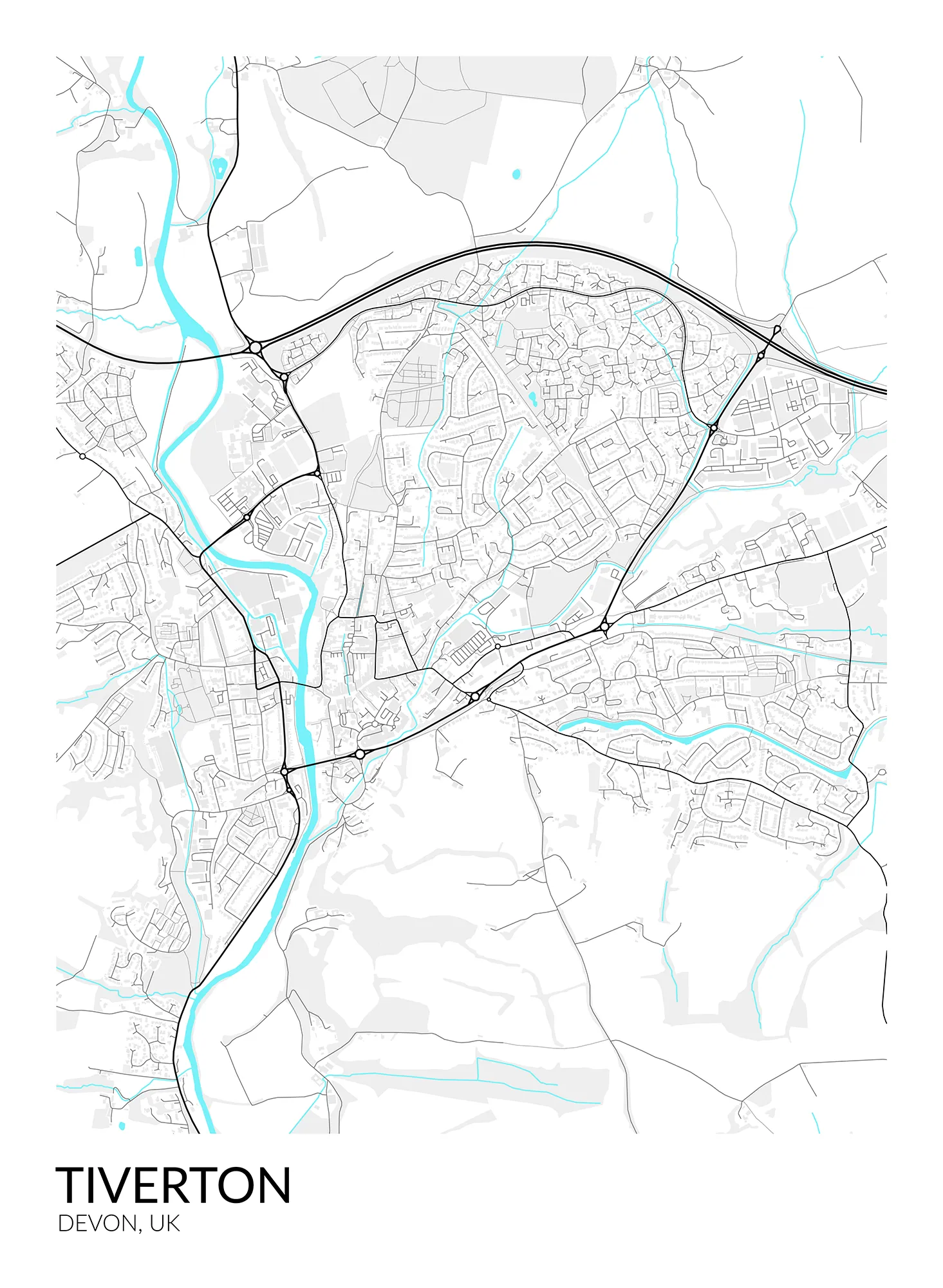
A custom Python script that pulls OpenStreetMap data and turns the geography of a chosen place into carefully styled, print-ready artwork. Roads, rivers, buildings and landscape features can be redrawn through different palettes, line weights and formats, creating a distinctive visual portrait rather than a conventional reference map.
Project details
The useful
particulars.
- Client
- Personal project
- Role
- Designer & Python developer
- Status
- Complete
- Year
- 2026
- Place
- Crediton, Devon
- Disciplines
- Python development · OpenStreetMap data · Cartographic design · Print and vector artwork
The problem
Raw mapping data is built for navigation and analysis, not for hanging on a wall. The challenge was to preserve enough geographic detail for each place to remain recognisable while removing visual noise and producing artwork that would reproduce cleanly at large print sizes.
The approach
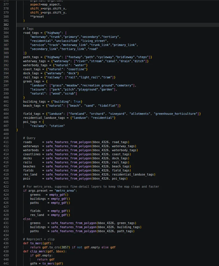
The script gathers and separates OpenStreetMap features into controllable layers, then applies a custom visual system for roads, water, buildings, land and labels. Palettes, line weights, crop, scale and output size can be changed without redrawing the map by hand.
The result
A reusable map-art generator capable of producing scalable, print-ready portraits of towns, villages and cities in a range of visual styles and formats.